


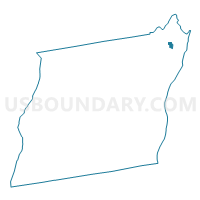
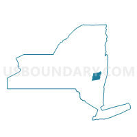
Voting District 060021, Albany County, New York
About
Outline

Summary
| Unique Area Identifier | 624559 |
| Name | Voting District 060021 |
| County | Albany County |
| State | New York |
| Area (square miles) | 0.45 |
| Land Area (square miles) | 0.45 |
| Water Area (square miles) | 0.00 |
| % of Land Area | 100.00 |
| % of Water Area | 0.00 |
| Latitude of the Internal Point | 42.74830720 |
| Longtitude of the Internal Point | -73.74111580 |
Maps

Graphs
Select a template below for downloading or customizing gragh for Voting District 060021, Albany County, New York


Neighbors
Neighoring Voting District (by Name) Neighboring Voting District on the Map
- Voting District 060019, Albany County, NY
- Voting District 060020, Albany County, NY
- Voting District 060022, Albany County, NY
- Voting District 060025, Albany County, NY